Volunteers on the Go
Welcome to the first in a series of "Volunteers on the Go". Our volunteers are proving very resilient by continuing to do MVIHES work while following the recommendations of BC's health officers in fighting COVID-19 (i.e. no hugging and kissing allowed). Here are a couple of the things we are doing.
Photo Point Monitoring
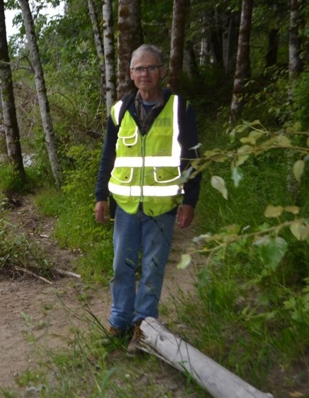
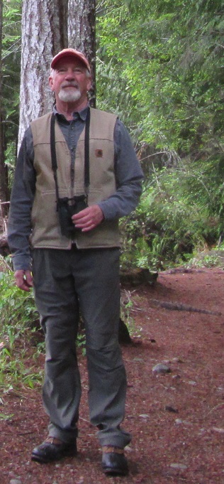
Michael Castonguay has been conducting photopoint monitoring on the Englishman River for over a year now. This involves taking photos along the river in precisely the same locations every few months so that changes in the river banks, gravel bars, log jams, etc. can be tracked. It's important for understanding the power of the river and the dynamics of the river channel.
Below are some examples of how the river changes with the seasons. The first two photos were taken looking upstream from Top Bridge and the next two photos were taken looking downstream of Top Bridge. The left-hand photos were taken in June 2019 and right-hand photos in February 2020. Some landmarks have been added to the photos so comparisons can be made of the water levels.
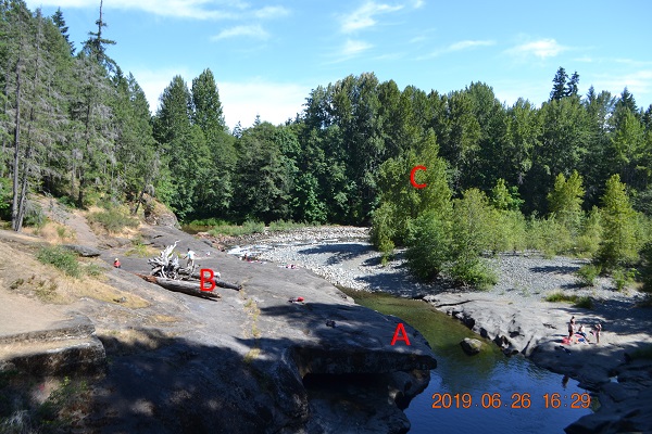
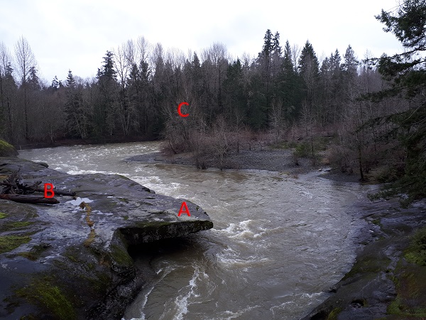
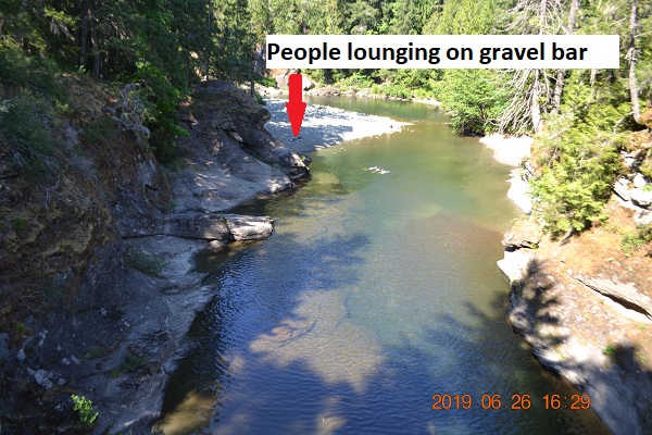
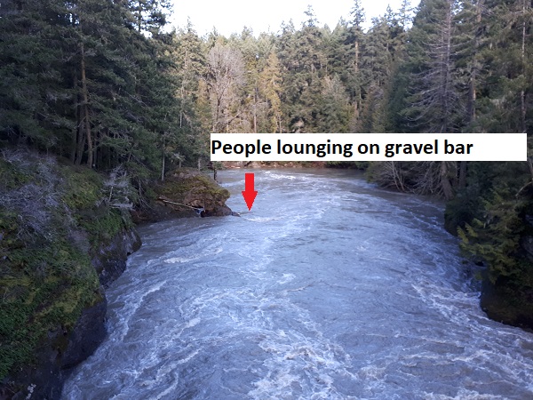
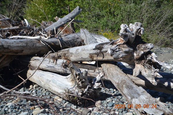
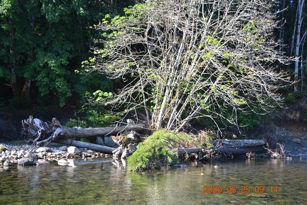
I'm sure the people lounging on the gravel bar were gone before the winter rains arrived...pretty sure. The pictures below were taken in June 2020, and show what the high winter flows are capable of. The photo on the left shows the remains of a woody debris structure that was constructed using large logs and stumps anchored with cables to boulders on the shore. If you look closely, you can see one of the cables. The purpose of the structure was to create pools and shade for fish. Chewed up and spat out by the river it was meant to help. The photo on the right shows a chunk of the stream bank that was eroded off and moved into the stream channel, trees and all. The lesson here is: don't mess with Mother Nature. Thank you, Michael, for capturing these great images.
Wetland Monitoring Program
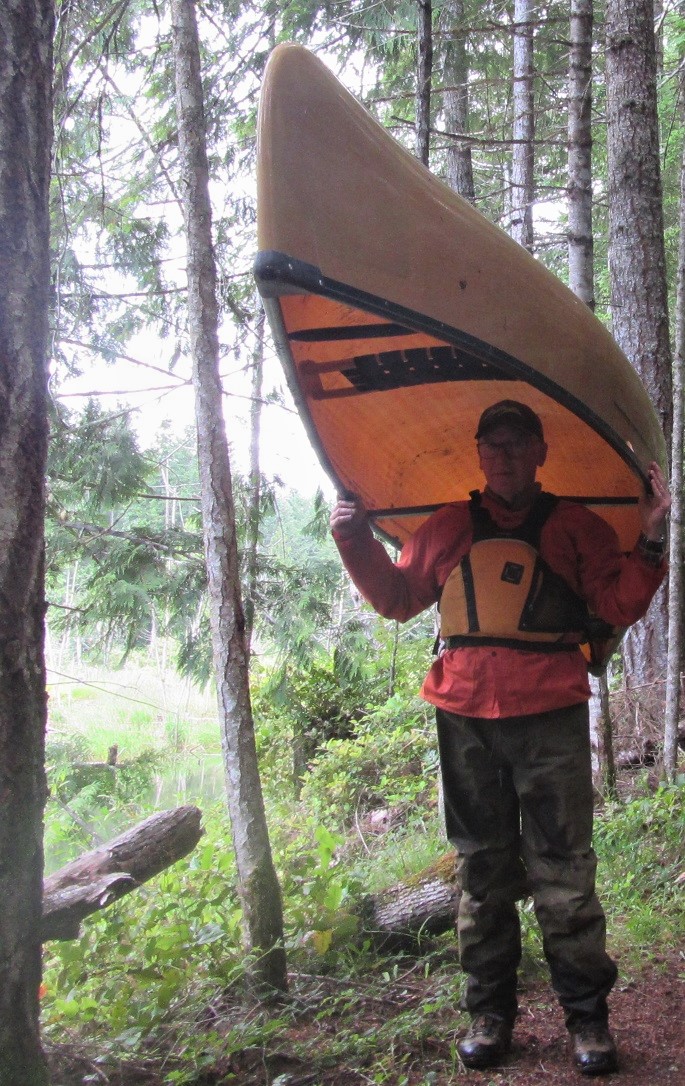
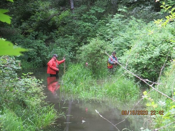
The next photos were taken in June 2020, and show a wetland survey in progress in the CW Young Side Channel in the Englishman River Regional Park. The Side Channel provides rearing habitat for Coho Salmon fry. The wetland was created by beaver dams in the Side Channel. Pete Law and Barb Riordan are in the photo on the left. Notice the nice social distancing. Pete and his canoe are in the far right photo, and Jim Goodwin is in the middle. Jim is with the Arrowsmith Naturalists and is conducting bird surveys as part of the wetland survey. Two small colonies of yellow iris, an invasive species, were discovered in the wetland in 2018. The Regional District of Nanaimo Parks Department (RDN) arranged for the yellow iris to be removed by the Coastal Invasive Species Council, and asked MVIHES to monitor the wetland for other colonies of invasive species for five years, starting in 2019. An article summarizing last year's monitoring is available here. This year's survey is not yet complete so there are still opportunities to participate.
Upcoming Projects
1. Stream flow monitoring in the Englishman River using a FlowTracker. We will measure the flow in the ER by taking a series of velocity measurements through the cross section of the river at different locations. These measurements are combined with water depths along each cross section to calculate flow rate (m3/second). This involves wading in the river so chestwaders with felts are recommended.
2. Annual water sampling of the Englishman River and its tributaries. This Includes weekly sampling for five weeks in August and again for five weeks in October. We have nine sites where we collect data on temperature, dissolved oxygen, conductivity and turbidity. Some of these sites require travelling on logging roads with scenic vistas and take you to some very pretty spots.
3. Completion of the Wetland Survey mentioned above. This involves some hiking through the bush and wading through a marsh to access our monitoring plots. We have a few spare pairs of chestwaders if you don't have your own. We will be collecting data on the number of salmon fry we see and other wildlife, measuring water depths, and collecting information on the plants growing in the plots.
If you are interested in participating in any of these projects please contact us at This email address is being protected from spambots. You need JavaScript enabled to view it.
.